-
Location Uttarakhand
-
Duration 12 Days
-
Best Season Late June till July & September (Except Monsoon Season)
-
Level Moderate
-
Altitude 17,500 ft. (highest)
Tour Details
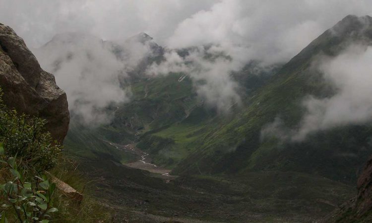
Mayali Pass is a famous place for trekking in Uttarakhand and is followed by many trekkers every year. In ancient time this trek was used by pilgrims to travel between Gangotri and Kedarnath. The Mayali Pass trek route starts from Ghuttu and the goes along Bhilangana valley. The Mayali Pass trek from Ghuttu to Gaurikund is of moderate to strenous difficulty. The trek offers an extraordinary experience of Himalayan peaks. The remote Indian villages of Gangi, Bhilangna River Catchment, Thalay Sagar peak, and Khatling glacier are the highlights of Mayali Pass trek.
Itinerary
Day 1
Rishikesh to Ghuttu -145 km drive –height -2524m
Day 2
Ghuttu to Reeh – 10 km trek –height - 2132m
Day 3
Reeh to Gangi -12 km trek – height -2584m
Day 4
Gangi to Kalyani -12 km trek - height-2683m
Day 5
Kalyani to Kharsoli -14 km trek
Day 6
Kharsoli to Tamakund /Chowki – 12 km trek
Day 7
Chowki to Marsar taal 8 km trek height- 4590m
Day 8
Acclimatization
Day 9
Masarta to MyAlipass - height- 5400m to Vasukital 13km height-4880m
Day 10
Vasukital to Kedarnath -10 km trek height 3584m
Day 11
Kedarnath to Gaurikund -14km trek then drive for Rudraprayag 130km
Day 12
Rudraprayag to drive for - Haridwar 150 km
 Yashaswi Himalayas Trek


